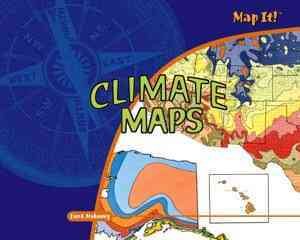
Climate Maps
Examines the basic features of climate maps, including their symbols and colors, representations of climate zones, latitude, temperature, precipitation, microclimates, and their various uses.
551.6
year: 2007
copies: 12
call number/section: 551.6
lexile: 900
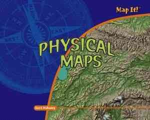
Physical Maps
Examines the basic features of physical maps including their symbols and colors, representations of landforms, and various uses of physical maps.
912
year: 2007
copies: 17
call number/section: 912
lexile:
Road Maps
A guide to understanding road maps, explaining what maps are, how to use the legend, how to understand scale and direction, and how to use the grid.
912
year: 2007
copies: 20
call number/section: 912
lexile:
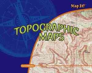
Topographic Maps
Explains what maps are, focusing on topographic maps, with discussion of scale, legends, contours, and contour lines; and looks at how topographic maps can be used.
912
year: 2007
copies: 21
call number/section: 912
lexile: 970
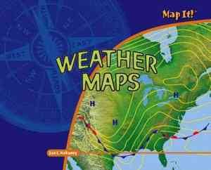
Weather Maps
Examines the basic features of weather maps, including their symbols and colors, temperature, air pressure, precipitation, direction and wind, forecasting, how they are made, and their various uses.
551.6
year: 2007
copies: 15
call number/section: 551.6
lexile: 910


